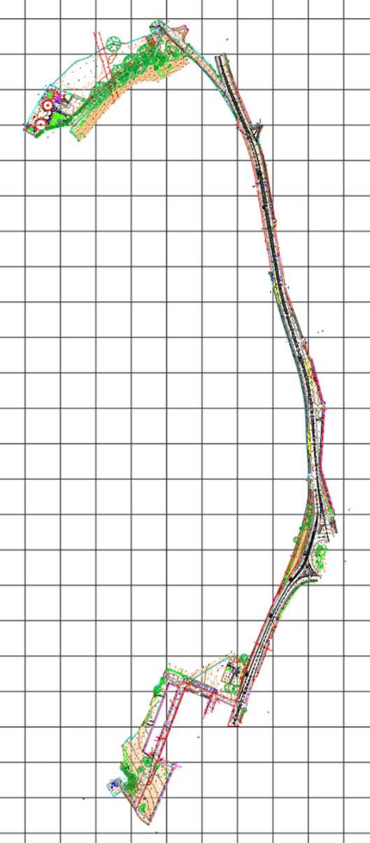
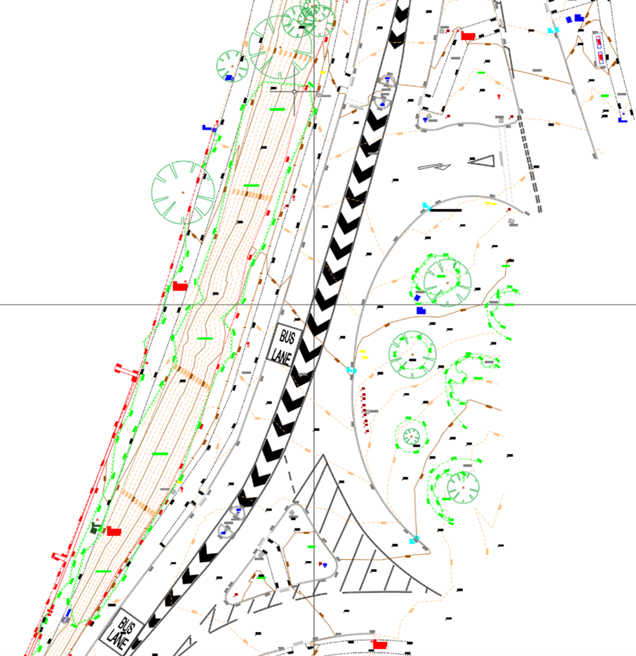
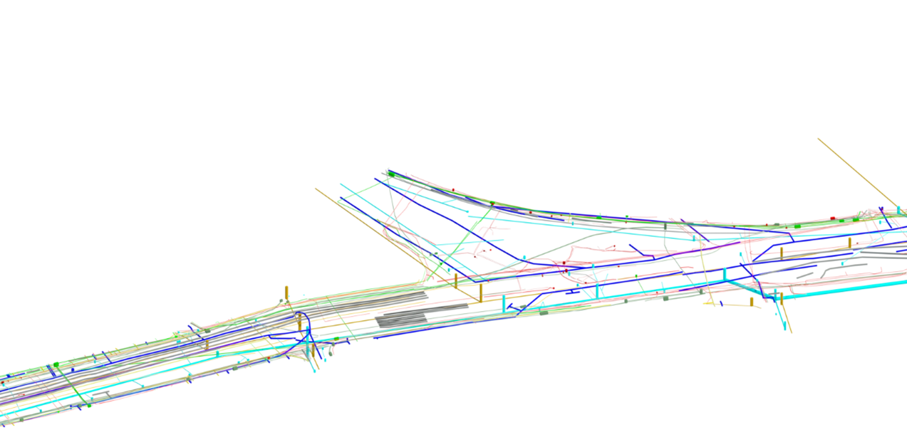
Project Overview: Three60 Mapping was commissioned by ESH Stantec to undertake comprehensive 2D and 3D PAS128 utility and topographical surveys along a 3km urban route for the Sunderland Bridge Rising Main project.
Objectives:
Approach and Methodology: The project involved extensive surveying along an active urban highway. A high-definition 3D laser scan using the Leica RTC360 was conducted to capture precise site conditions, supplemented by traditional survey techniques and the establishment of a robust survey control network. For underground utility mapping, our PAS128 QL-B M3P survey utilised Vivax Vloc 3 Pro CAT and the advanced Leica Stream UP vehicular-mounted multi-array Ground Penetrating Radar (GPR) system.
Challenges and Solutions:
Key Deliverables:
Results and Benefits: ESH Stantec received highly accurate topographical and utility survey data, enabling efficient design planning and risk mitigation for the rising main project. Utilising our innovative methodologies resulted in substantial reductions in survey duration, costs, and carbon emissions, demonstrating clear operational and environmental benefits
Client Testimonial
“Esh-Stantec have worked closely with 360 for the last 10 years, delivering data collection for the Northumbrian Water Framework Design Teams, we have always found them to be reliable, flexible and team players.
As well as standard survey deliverables such as Topographical, Utility, Drone & 3D Surveys etc., they have worked with us to enable multi-disciplinary surveys with other specialist contractors which involved an innovative approach to survey works within confined spaces environments.
We consider 360 as one of our key delivery partners and look forward to working with them to deliver our current and future framework requirements.’’
Julian Curtis – Construction, Design & Collaboration Manger – Esh-Stantec
Interested in
working with us?
We’re always available to talk BIM surveys, upcoming projects and how we can help you.
Contact Us